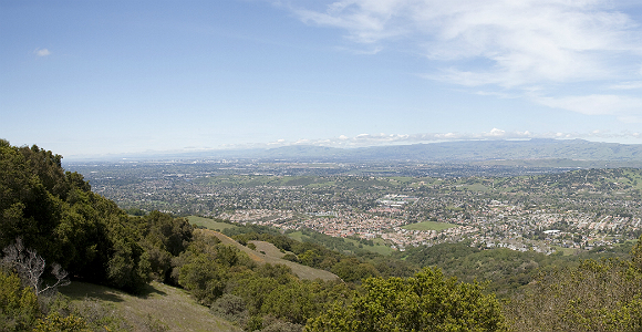
Santa Clara Valley (Photo Credit: Jim Bahn/Flickr)
At last month’s Planning and Conservation League Symposium, I had an opportunity to speak with some of the state’s leading land use experts about a regional-scale, stakeholder-driven approach to conservation planning called Greenprinting. This method, which was pioneered by the Trust for Public Land, invites government, business and nonprofit stakeholders to contribute data, inventory natural resources, and ultimately adopt regional goals for conservation and management. Greenprints have been done for regions around the country, and for parts of California such as the Santa Clara Valley and San Joaquin Valley.
A major theme of the discussion last month was the role that Greenprinting can play in integrating the disparate policy frameworks that apply to our state’s working lands. As the California Economic Summit’s Working Landscapes Team emphasized in 2013, a more coordinated approach to land use policy can avoid duplicative and uncoordinated enforcement, provide greater certainty for those subject to regulation, and offer stronger tools for conservation.
Greenprinting can contribute to the goal of policy integration in three important ways:
Data: Regional Greenprints often provide both a natural resource inventory and a clearinghouse of resource-related mapping data. This data can answer important questions about land use. In the San Joaquin Valley, for example, two significant challenges to the region’s long-term prosperity are farmland conversion and groundwater depletion. The San Joaquin Valley Greenprint’s natural resource inventory—the State of the Valley Report—maps where prime farmland and groundwater recharge areas intersect, an important piece of the puzzle for land use and conservation decisions. This Greenprint also provides a clearinghouse of GIS data, much of which is interoperable with planning tools such as the Sacramento Area Council of Governments’ Rural-Urban Connections Strategy (RUCS). As the Working Landscapes Team helps develop a statewide, open-source modeling platform with capabilities similar to RUCS, data gathered for Greenprints may expand the platform’s reach.
Dialogue: The voluntary, stakeholder-driven nature of Greenprinting can help create dialogue among different sectors about resource conservation and management goals. The Santa Clara Valley Greenprint, for example, incorporated input from over 100 stakeholders, ranging from federal, state and local agencies to land trusts, farmers and ranchers, with the goal of building consensus about resource conservation priorities in central and eastern Santa Clara County.
Goals: As the Working Landscapes Team recognized in 2013, an essential element of policy integration is developing regional objectives for land and water management. These objectives will be more rooted in local knowledge, and are likely to have more legitimacy, if they come from a stakeholder-driven process of data collection and consensus building.
Greenprinting can contribute even more if explicitly linked to other planning processes. Sustainable Communities Strategies (SCSs), for example, integrate land use and transportation planning to meet state-mandated greenhouse gas reduction targets, and are required to consider “the best practically available scientific information regarding resource areas and farmland in the region” (Cal. Gov. Code §65080(b)(2)(B)). Some SCSs, such as those for the Monterey Bay and Santa Barbara, use a Greenprinting approach to identify resource areas for conservation, and others may do so in the future.
Greenprint data is also informing dialogue about City- and County-level General Plan Updates, and may play a role in decisions about groundwater management under the new Sustainable Groundwater Management Act. If we can build and strengthen these links, and ensure that data collected for regional Greenprints is interoperable with modeling tools such as RUCS, Greenprinting can provide an increasingly valuable tool for policy integration.
Adam Livingston is Director of Planning and Policy at the Sequoia Riverlands Trust and Coordinator, Southern Sierra Partnership.